Click to visit the main New York Public Library Homepage
The New York Public Library
Digital Collections
About Digital Collections
Browse
Search only public domain materials
Items
Collections
Divisions
Home
Search
Browse
About
Search only public domain materials
Items
Collections
Divisions
Digital Collections
Using Images
Using Data
Search
Filtered search
Show filters
Hide filters
Show Only Public Domain
topic
x
Canals
Railroads
39
Administrative and political divisions
19
Rivers
12
Ferries
8
More
Less
name
Vaughan, David, active 1849-1864
10
A. Brown & Co
6
E. & H.T. Anthony (Firm)
6
Pennsylvania Railroad
6
Disturnell, John, 1801-1877
5
More
Less
collection
Maps of New York City and State
30
Maps of North America
20
"The Pageant of America" Collection
15
Robert N. Dennis collection of stereoscopic views
15
Knight's pictorial gallery of arts
1
More
Less
place
New York (State)
33
Pennsylvania
18
Brooklyn (New York, N.Y.)
9
New Jersey
9
New York
9
More
Less
genre
Maps
50
Photographs
30
Stereographs
15
Cadastral maps
1
Diagrams
1
More
Less
publisher
publisher not identified
6
A. Brown & Co
5
E. & H. T. Anthony
5
J. Disturnell
4
New York State Engineer and Surveyor?
4
More
Less
division
Map Division
50
Wallach Division: Photography Collection
30
General Research Division
1
Wallach Division: Picture Collection
1
type
cartographic
50
still image
32
Date Range
to
82 results found
Filtering on:
x
Date
: 1848 - 1868
x
Topic
: Canals
Sort by:
Title
Date created
Date digitized
Sequence
Transportation facilities, En…
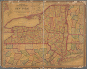
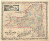
Map of the state of New York:…
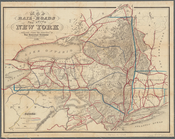
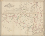
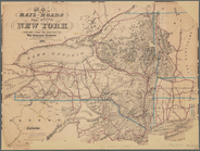
Map of the rail-roads of the …
Johnson's Indiana
Map of the town of Huron, Mic…
Map of the canals and rail ro…
Map of the mines, canals, and…
m
The Wyoming Coal Field and it…
Johnson's Illinois
Map of the Clinton County Coa…
m
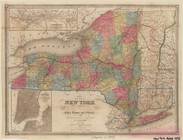
Colton's map of the state of …
Albemarle and Chesapeake Cana…
Map showing the location of t…
Atlantic and Gulf Coast Canal…
Johnson's Delaware and Maryla…
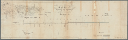
Erie Canal enlargement, middl…
Albemarle and Chesapeake Cana…
Map of the various channels f…
Disturnell's new map of the U…
Profiles of the canals and ra…
Map of the state of New York …
Enlargement of the Erie Canal…
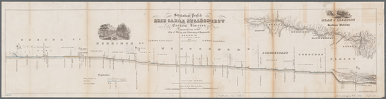
Statistical profile, Erie Can…
m
Map of the rail-roads of the …
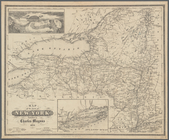
Engineers map of the state of…
Map showing location of reser…
Disturnell's new map of the U…
Profiles of the canals and ra…
Map of the Genesee Valley Can…
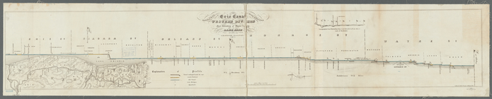
Statistical profile of Erie C…
A new map of the United State…
Mitchell's county and townshi…
Map of the state of New York …
Map of the State of New-York:…
Map of the state of New-York …
Map of the State of New York
Map of the State of New York
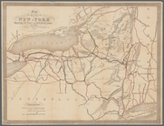
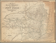
Map of the rail-roads of the …
Map of the rail-roads of the …
Map of the state of New York …
m
Plan for the drainage of that…
Map of the state of New York …
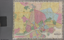
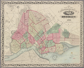
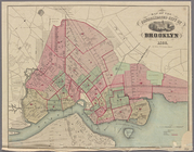
Map of the consolidated city …
Map of the consolidated city …
Map of the consolidated city …
m
Watson's new map of the city …
Map of the consolidated city …
Map of the consolidated city …
Map of the consolidated city …
m
Higginson's plan of the city …